Every live Coquihalla Highway camera on one page – from the Portia and Box Canyon chain-up areas north of Hope, past the Great Bear Snowshed, Zopkios and the Coquihalla Summit, down to Merritt, and on to the Highway 97D junction near Kamloops.
Hope to the Coquihalla Summit
Loading camera…
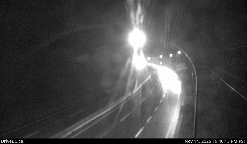
Highway 5 at the northbound Portia Chain Up, looking NORTH
Loading camera…
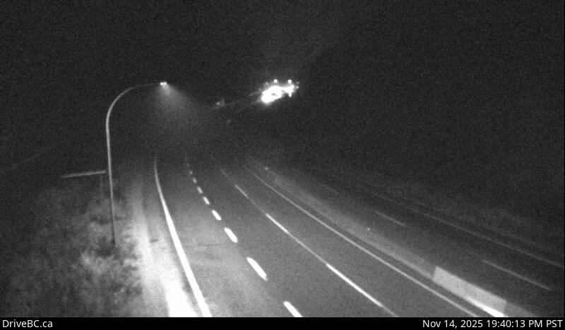
Highway 5 at the northbound Portia Chain Up, looking SOUTH
Loading camera…
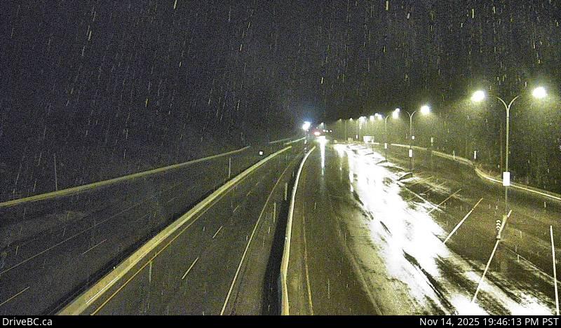
Highway 5 near Box Canyon Chain Up, looking NORTH
Loading camera…
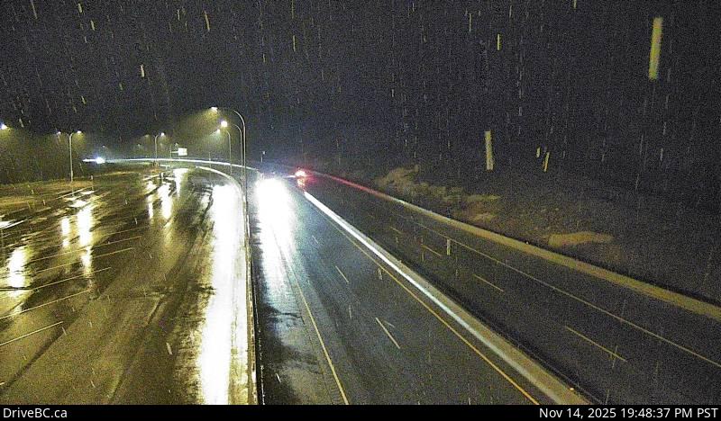
Highway 5 near Box Canyon Chain Up, looking SOUTH
Loading camera…
Highway 5 at the Great Bear Snowshed, looking NORTH
Loading camera…
Highway 5 at the Great Bear Snowshed, looking SOUTH
Loading camera…
Highway 5 northbound at Zopkios Rest Area near the Coquihalla Summit looking NORTH
Loading camera…
Highway 5 northbound at Zopkios Rest Area near the Coquihalla Summit looking SOUTH
Loading camera…
Highway 5 southbound at Zopkios Rest Area near the Coquihalla Summit, looking NORTH
Loading camera…
Highway 5 southbound at Zopkios Rest Area near the Coquihalla Summit, looking SOUTH
Loading camera…
Highway 5 about 7 km north of Zopkios Brake Check, looking NORTH
Loading camera…
Highway 5 about 7 km north of Zopkios Brake Check, looking SOUTH
Coquihalla Lakes to Merritt
Loading camera…
Highway 5 about 61 km south of Merritt, looking NORTH
Loading camera…
Highway 5 about 61 km south of Merritt, looking SOUTH
Loading camera…
Highway 5 at Britton Creek Rest Area northbound turnoff, looking NORTH
Loading camera…
Highway 5 at Britton Creek Rest Area northbound turnoff, looking SOUTH
Loading camera…
Highway 5 southbound at Mine Creek Road, looking SOUTH
Loading camera…
Highway 5 about 36 km south of Merritt at Larson Hill, looking NORTH
Loading camera…
Highway 5 about 36 km south of Merritt at Larson Hill, looking SOUTH
Loading camera…
Highway 5 about 15km south of Merritt at Comstock Road, looking NORTH
Loading camera…
Highway 5 about 15km south of Merritt at Comstock Road, looking SOUTH
Merritt to Kamloops
Loading camera…
Highway 5 about 24 km north of Merritt at Helmer Interchange, looking NORTH
Loading camera…
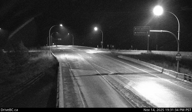
Highway 5 at Exit 336 Logan Lake/Lac le Jeune Road, looking NORTHBOUND along Highway 5
Loading camera…
Highway 5 at Exit 336 Logan Lake/Lac le Jeune Road, looking SOUTHBOUND along Highway 5
Loading camera…
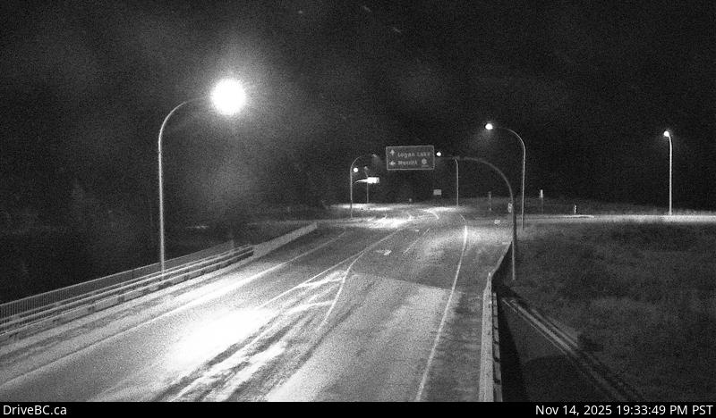
Highway 97D (Logan Lake/Lac le Jeune Road) at Highway 5, looking NORTHEAST/EASTBOUND
Loading camera…
Highway 97D (Logan Lake/Lac le Jeune Road) at Highway 5, looking SOUTHWEST/WESTBOUND
Loading camera…
Highway 5 about 30 km south of Kamloops, looking SOUTH
About the Coquihalla cameras
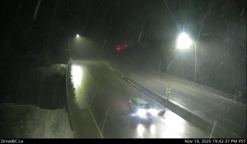
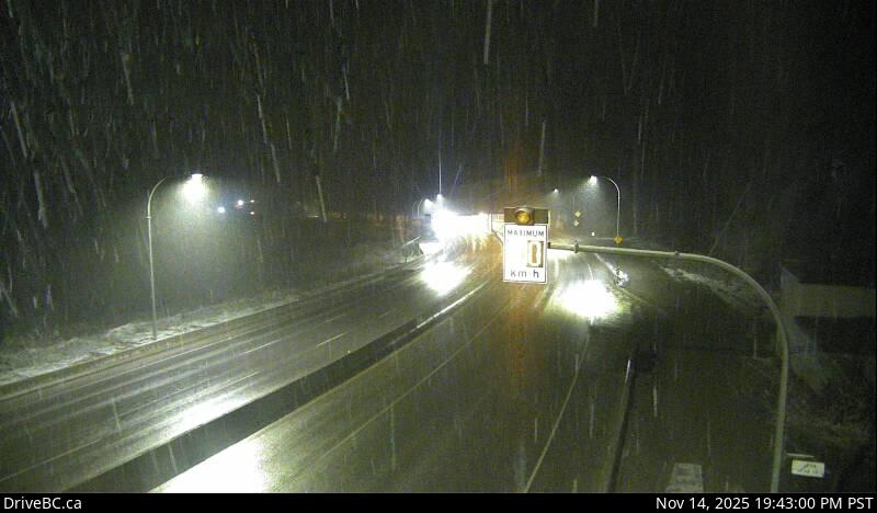
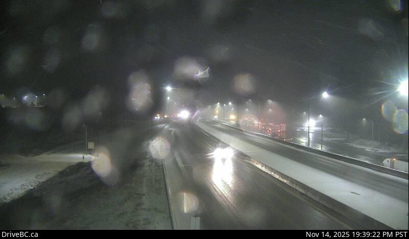
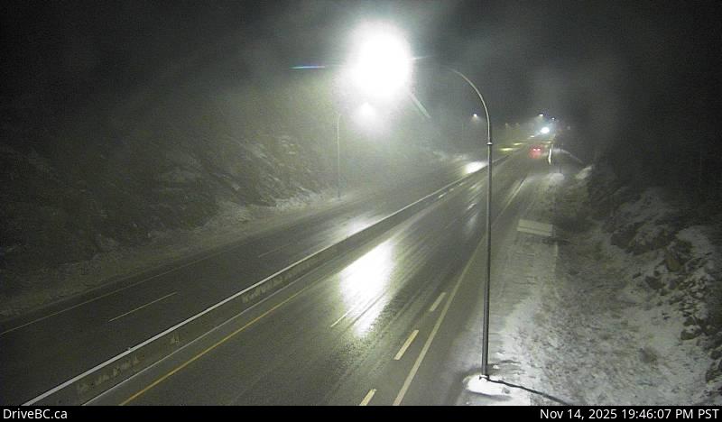
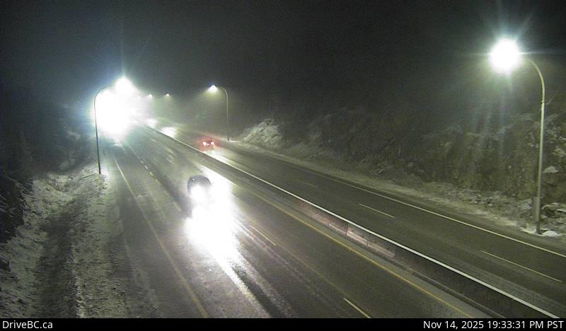
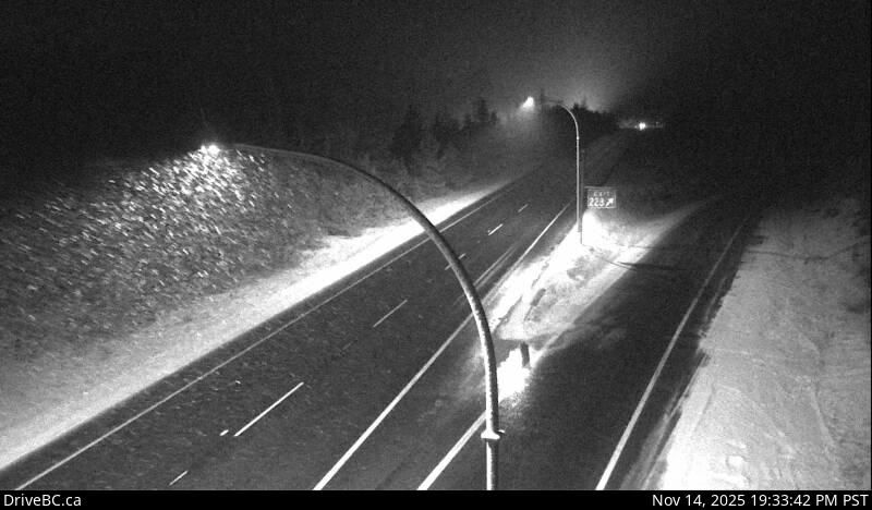
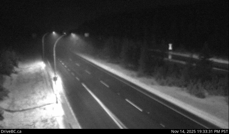
The Coquihalla Highway is the fastest route from Vancouver to the BC Interior and climbs to about 1,240 metres at the summit, so it can be snowing hard there while it is raining in Hope. Winter tires or chains are required from October 1 to April 30, and closures for crashes and avalanche control are common in winter. Look at the summit and Zopkios cameras, then check DriveBC for closures before you leave.
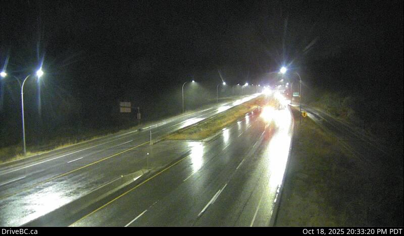
Every picture reloads itself about once a minute while it is on your screen, so there is no need to refresh the page. City of Vancouver pictures show the time they were taken in the top corner.
 Loading camera…
 Loading camera…
 Loading camera…
 Loading camera…
 Loading camera…
 Loading camera…
 Loading camera…
 Loading camera…
 Loading camera…
 Loading camera…
 Loading camera…
 Loading camera…
 Loading camera…
 Loading camera…
 Loading camera…
 Loading camera…
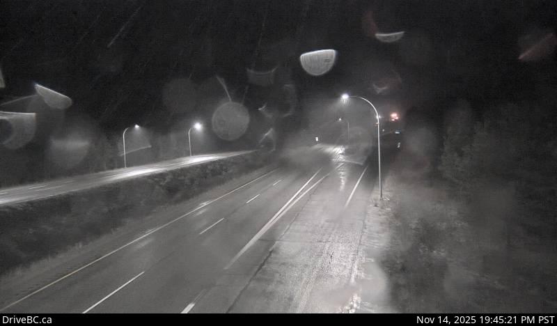 Loading camera…
 Loading camera…
 Loading camera…
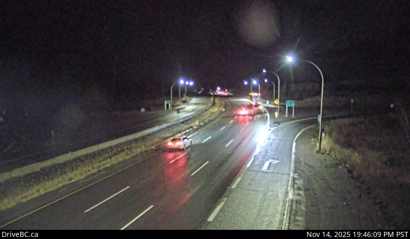 Loading camera…
 Loading camera…
 Loading camera…
 Loading camera…
 Loading camera…
 Loading camera…
 Loading camera…
 Loading camera…